References:
Quartz Sensor Resolution and Stability
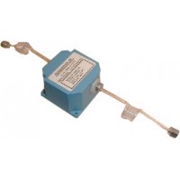
With the new system Paroscientific the geophysical measurements can now be carried out with unprecedented performance. From the ocean surface to the seabed through the water column and the atmosphere into a single coherent matrix. These sensors allow’identify and, in many cases, of predict the intensity, position and trend of natural disasters which earthquakes, tsunamis, volcanic eruptions and abnormal weather conditions. This allows for improve the alert time.
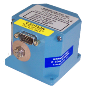
The system GODS (Geodesy + Ocean Disaster Sensors) has been developed both for the’natural disaster alert that for the high-quality geodetic measurements. The toolkit includes an absolute pressure sensor for depth measurements, a triaxial accelerometer, and an electronic board for data processing with nano-resolution.
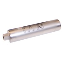
Other packages with high-resolution tilt meters and broadband barometers are available.
A system for zero and span site calibration (AOA calibration) (without the need to physically access the sensor) allows for eliminate the sensor drift.
GODS modules work in wired systems, In remote workstations of ocean floor recording and in Submersible vehicles. The sensors can also be used for gravimetric applications via AUV (Autonomous underwater vehicles) – Gravity survey of a strap-down AUV.

Products